


Services
City Supervision | Eco-Protection | Emergency Response | Business Services
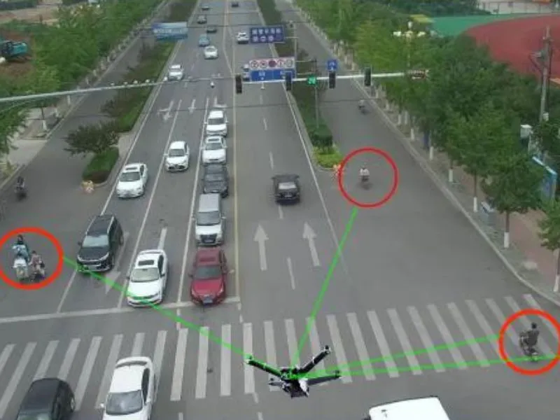
traffic patrol
Relying on the drone aerial inspection and intelligent monitoring technology, to build an all-weather, all-road traffic situational awareness network. These drones are equipped with high-definition optical cameras, infrared night-vision equipment and AI intelligent recognition system, capable of capturing real-time road traffic flow, vehicle traffic under complex road conditions and different weather conditions....
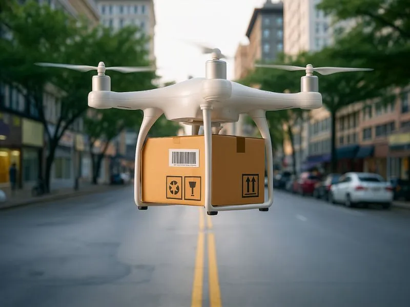
Logistics Express Transportation
Relying on the intelligent scheduling and precise distribution technology of drones, the company has built an efficient, flexible air logistics transportation network covering both urban and rural areas. These logistics drones are equipped with high-precision GPS positioning system, intelligent obstacle avoidance radar, automatic loading and unloading robotic arm and temperature-controlled cargo warehouse and other advanced equipment, and can be used in complex urban environments, mountainous areas...
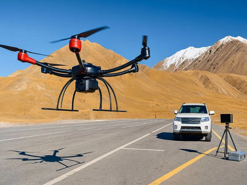
border patrol
China has a total of about 22,000 kilometers of land borders, respectively, with 14 countries, of which 2/3 of the border line is the high mountains and deserts, in response to the high flow of people entering and exiting China's borders, smuggling and smuggling and other serious criminal activities, objectively requires the border departments to carry out the task of the long distance, the speed of response. ...
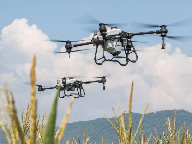
Agroforestry monitoring
The use of UAV-mounted multispectral cameras to monitor the nutritional status or disease chamber of vegetation (including crops, pastures and forests, etc.) has its advantages. Constructing a full set of UAV-mounted multispectral camera and data processing system can contribute to the informatization and modernization of agricultural plant protection. In particular, providing timely and accurate...
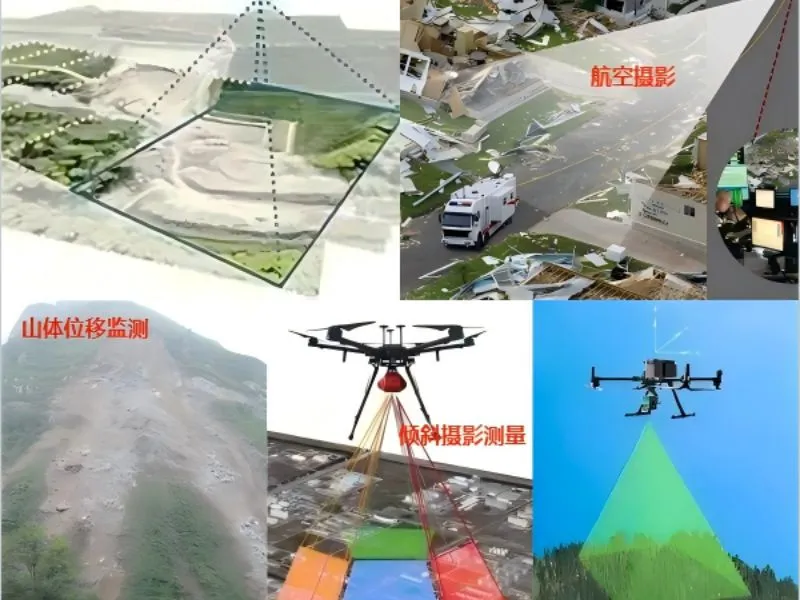
UAV aerial survey
Focusing on the fields of water conservancy project monitoring, environmental protection and emergency disaster relief, it obtains real-time image data through high-precision aerial photography to provide decision support for water resources management and disaster assessment. Combined with the cloud platform data processing technology, it realizes the automation of the whole process from data acquisition to analysis, and significantly improves the monitoring efficiency and accuracy. The...
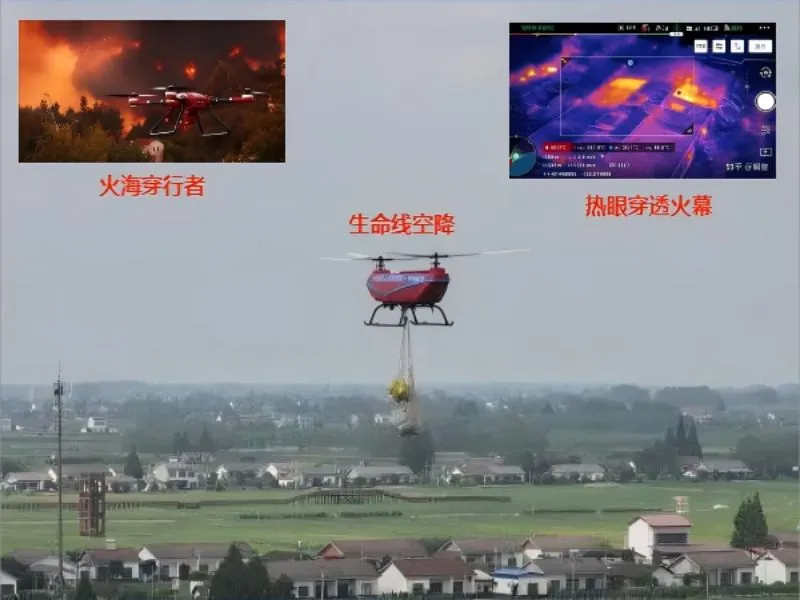
fire-fighting emergency
Based on the existing advantages of aviation, communications and information technology, to create a set of real-time fire reconnaissance, hotspot monitoring and disaster assessment in one of the aerial emergency monitoring system, able to provide accurate fire information and dynamic analysis at the scene of the fire, to provide a reliable basis for command and decision-making.
Products
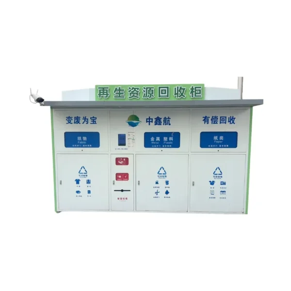
Intelligent R&D | Data Applications | System Integration | Intelligent Platform | Smart Cabinets | Shared Drone Rental Cabinets

News
Walking with Zhongxinhang, opening a new era of low-altitude economy

The Lantern Festival Gathering and Low Altitude Sailing|Shenzhen Aviation Association Low Altitude Environment Committee Preparatory Work Fully Implemented
ZHONG XIN HANG Low Altitude Environment, Gathering Strength and Setting Sail The New Year Preparatory Meeting of Low Altitude Environment Committee of Shenzhen Aviation Association and the Ceremony of Preparation for Low Altitude Environment Committee of Zhong Xin Hang Group were successfully held! March 3, 2026
Leadership Care for Development and New Journey|Shantou Human Resources and Social Security Bureau Leaders Visit Zhongxinhang UAV Training Base
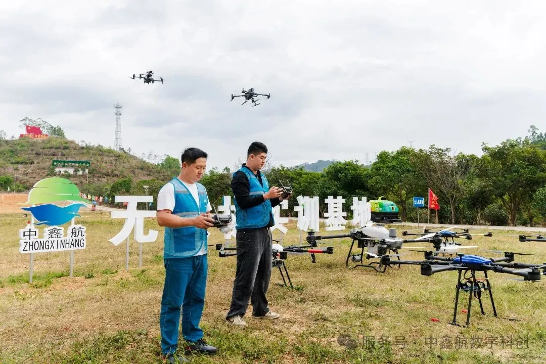
At the beginning of the New Year of the Horse, everything is renewed.2026 February 25th afternoon, Shanwei City Human Resources and Social Security Bureau Deputy Director Lin Shaobin, Luhe County Human Resources and Social Security Bureau Employment Center Director Luo Zhiyuan, Xintian Township leaders and their entourage visited Zhongxinhang UAV training base to guide the work, for the base of high-quality development of the pulse orientation and empowerment of the efficiency. ...

The 27th China Hi-Tech Fair
Project Introduction Inspection and extermination UAV system Under the current background of the country vigorously promoting scientific and technological self-reliance and industrial digital upgrading, the intelligent and unmanned outdoor operation has become a key development trend. In order to cope with the needs of inspection and extermination in complex environments such as parks and roads, we have developed the “Intelligent Inspection and Extermination ...