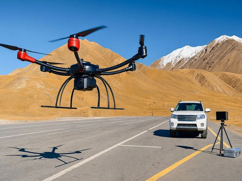
border patrol
Our country has a total of about 22,000 kilometers of land borders with 14 countries, of which 2/3 [...]
Our country has a total of about 22,000 kilometers of land borders with 14 countries, of which 2/3 [...]
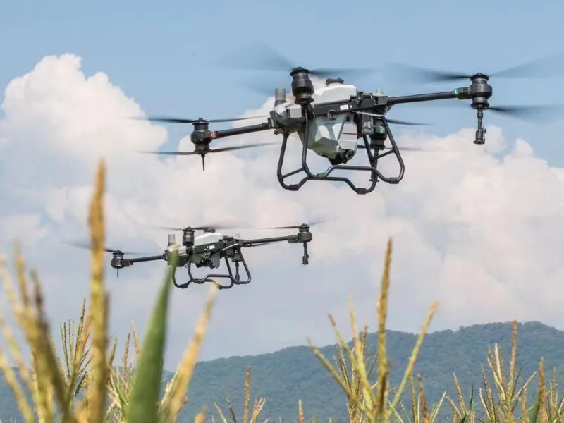
The use of UAV-mounted multispectral cameras to investigate the trophic status of vegetation (including crops, pastures, forests, etc.) or the
Agroforestry monitoring Learn more "
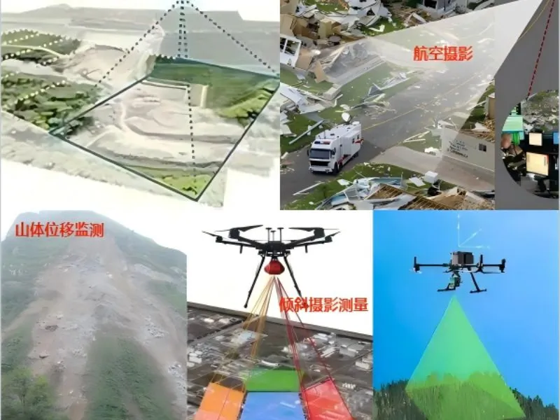
Focusing on the fields of water conservancy project monitoring, environmental protection and emergency disaster relief, obtaining real-time images through high-precision aerial photography.
UAV aerial survey Learn more "
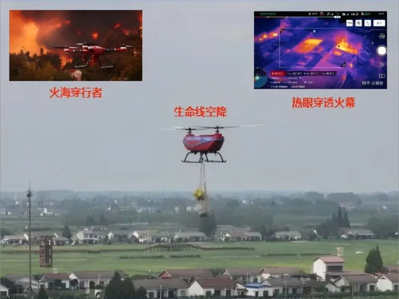
Based on the existing aviation, communication and information technology advantages, to create a set of real-time fire detection, hotspot monitoring and disaster
fire-fighting emergency Learn more "
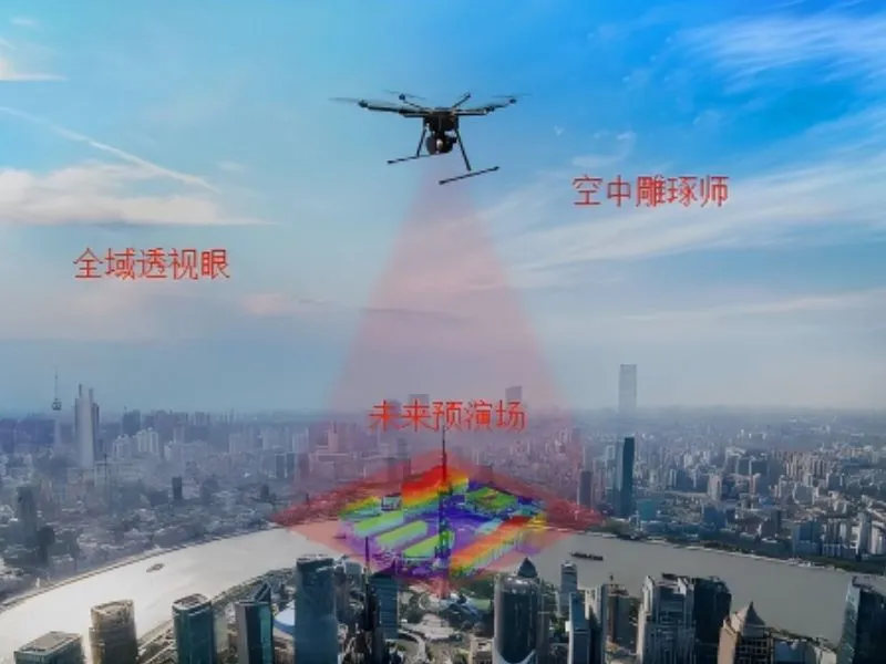
Using the drone platform to carry high-precision cameras to obtain the city's live image data, through professional 3D modeling software
Urban 3D modeling Learn more "
Combining high-precision imaging equipment and intelligent flight systems to provide water conservancy project monitoring, urban planning, and disaster assessment.
aerial photography Learn more "