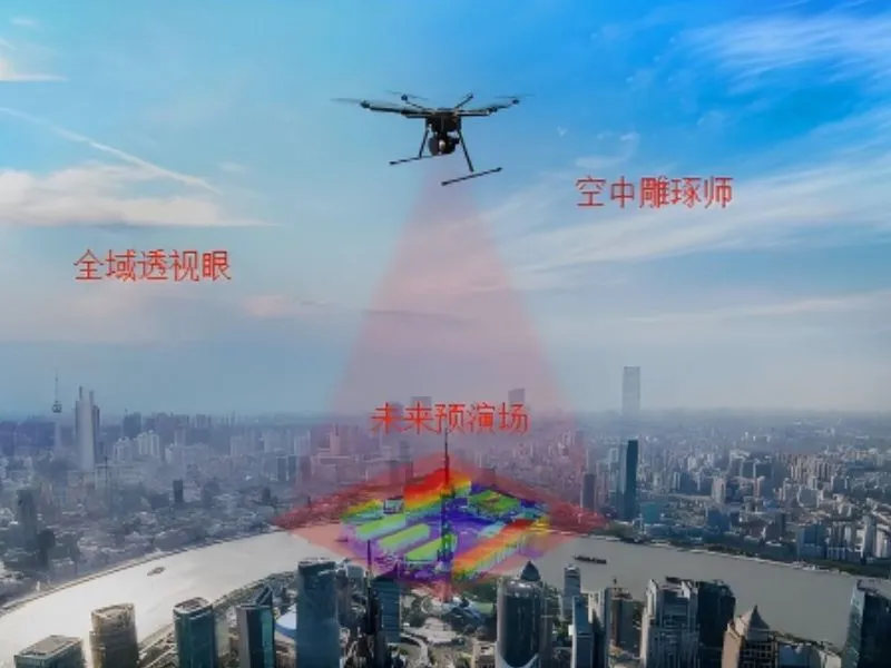
Using the drone platform to carry high-precision cameras to obtain the city's real-world image data, and generating high-precision, high-realism city digital twin models through professional 3D modeling software processing, providing intuitive visualization decision-making support for smart city planning, emergency management and urban governance.