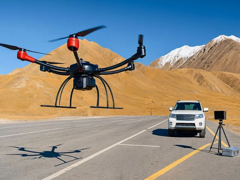
border patrol
China has a total of about 22,000 kilometers of land borders, respectively, with 14 countries, of which 2/3 of the border line is the high mountains and deserts, in response to the high flow of people entering and exiting China's borders, smuggling and smuggling and other serious criminal activities, objectively requires the border departments to carry out the task of the long distance, the speed of response. ...
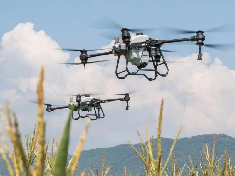
Agroforestry monitoring
The use of UAV-mounted multispectral cameras to monitor the nutritional status or disease chamber of vegetation (including crops, pastures and forests, etc.) has its advantages. Constructing a full set of UAV-mounted multispectral camera and data processing system can contribute to the informatization and modernization of agricultural plant protection. In particular, providing timely and accurate...
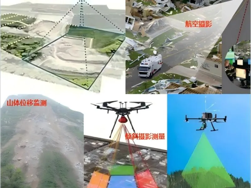
UAV aerial survey
Focusing on the fields of water conservancy project monitoring, environmental protection and emergency disaster relief, it obtains real-time image data through high-precision aerial photography to provide decision support for water resources management and disaster assessment. Combined with the cloud platform data processing technology, it realizes the automation of the whole process from data acquisition to analysis, and significantly improves the monitoring efficiency and accuracy. The...
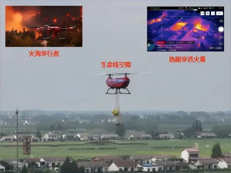
fire-fighting emergency
Based on the existing advantages of aviation, communications and information technology, to create a set of real-time fire reconnaissance, hotspot monitoring and disaster assessment in one of the aerial emergency monitoring system, able to provide accurate fire information and dynamic analysis at the scene of the fire, to provide a reliable basis for command and decision-making.
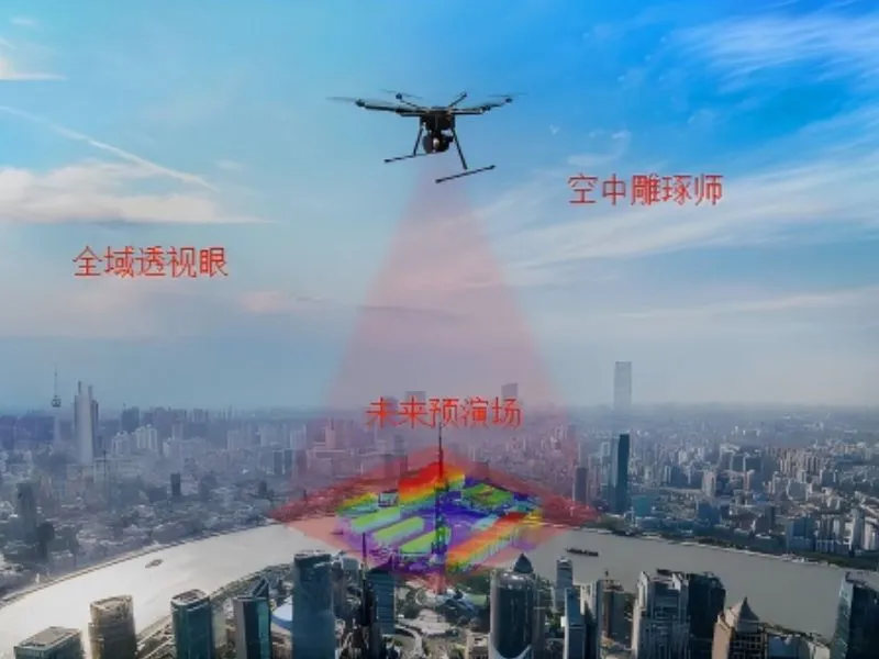
Urban 3D modeling
Using the drone platform to carry high-precision cameras to obtain the city's real-world image data, and generating high-precision, high-realism city digital twin models through professional 3D modeling software processing, providing intuitive visualization decision-making support for smart city planning, emergency management and urban governance.
aerial photography
Combining high-precision imaging equipment and intelligent flight systems, it provides real-time high-definition images for water conservancy project monitoring, urban planning and disaster assessment. The solution can be rapidly deployed in complex terrains and hazardous areas to achieve large-scale and low-cost data acquisition and analysis. Through the integrated data processing platform, users are able to acquire accurate...