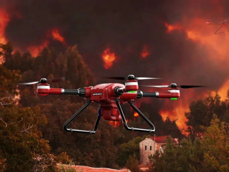
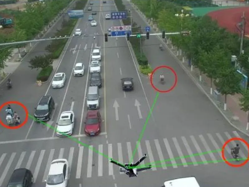
Relying on drone aerial inspection and intelligent monitoring technology, an all-weather, all-round forest fire monitoring network has been constructed.
Equipped with high-precision thermal imaging sensors, high-definition optical cameras and intelligent algorithm systems, these drones are capable of capturing real-time fire dynamics, such as temperature changes and smoke diffusion, in forested areas under complex terrain and adverse weather conditions. Once a suspected fire point is detected, the system will immediately trigger the early warning mechanism, and the fire information will be quickly transmitted to the forest fire command center through satellite communication or ground base station, which will gain valuable time for the disposal of the fire.
In terms of fire positioning, the UAV, with its flexible flight capability, can accurately lock the location of the fire point in a short period of time, and restore the fire situation through three-dimensional modeling technology, providing the commanding officer with a visualized map of the fire situation, and assisting him in formulating a scientific fire-fighting operation plan. At the same time, the drone can also carry fire extinguishing bombs, fire retardant spraying devices and other equipment, directly involved in fire-fighting operations, the fire point to carry out precision strikes, effectively controlling the spread of fire.
The application of this technology has greatly improved the response speed and control ability of forest fire prevention, changed the traditional forest fire prevention rely on manual inspection, response lag situation, for building China's ecological security barrier, guarding forest resources and biodiversity provides a strong technical support, so that the green forest sea in the guardianship of intelligent technology more and more safe and solid.