Services
City Supervision | Eco-Protection | Emergency Response | Business Services

Security patrols
Dead-angle patrol coverage, breaking through the bottleneck of traditional patrol limited by terrain, quickly reaching the scene of the incident, providing real-time situational awareness for ground law enforcement, equipped with high-precision camera equipment and intelligent algorithms, automatically identifying suspicious persons, vehicles and abnormal behavior.
Cultural and Tourism Aerial Photography
Overlooking from a high altitude, it shows the whole landscape of the scenic spot and unique geographic features, creates spectacular images that cannot be realized by conventional shooting, and vividly shows the vitality of the scenic spot and the experience of tourists through aerial tracking, encircling flights and other dynamic shooting techniques.

freight or cargo transportation
Ignoring the ground traffic congestion, straight-line flight, significantly shorten the distribution time, especially suitable for the city peak period and remote area distribution, according to the characteristics of the goods, the distribution distance can be flexible deployment of different loads, the range of the aircraft type.

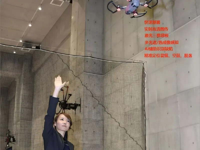
Electricity inspection
Drone patrol has the advantages of low manufacturing cost, lower flight cost, safety of flight control personnel, maneuverability and flexibility, diversification of functions, fast task unfolding speed, and over-the-horizon autopilot. The drone inspection can carry out infrared and visible light inspection in several times, and can carry out the whole process of video recording and photo taking.

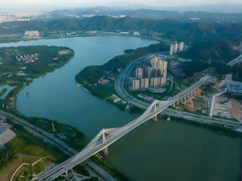
Highway inspection
The drone can fly inspection by itself according to the route and procedure set by the system, and through the satellite high-precision positioning technology, the 3D building model constructed by the system provides the staff with computerized visualization and management.
survey and draw
Drone mapping has a high advantage in realism, and the use of aerial drones can be a good solution to the problems that arise in strip mapping projects when carrying out topographic mapping in strip terrain areas.